139 143 ASHLEY BLVD
Owner Information
BOOTH MARY ANN "TRUSTEE"
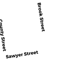
121 BURNS STREET
NEW BEDFORD, MA 02740


Property Details
139 143 ASHLEY BLVD is classified as a Small Retail and Services stores (under 10,000 sq. ft.) (Gen retail).
The primary structure on this property was built in 1964. There are 3,827ft2 of built area within this property. There is 3,827ft2 of residential/living space within this property.
139 143 ASHLEY BLVD is valued at $270,200. The land is valued at $83,200 and the structures are valued at $183,500. There is an additional valuation of $3,500 on this property.
This property is in Zone MUB. Confirm with local Zoning Board authorities to ensure there are no overlays or other easements on this property.
139 143 ASHLEY BLVD was last sold on Monday, November 24, 1997 for $100.
Assessment data from fiscal year 2021.
Flood Data
According to the FEMA National Flood Hazard Layer, this property does not appear to be in a flood zone. It may also be in an area not yet reviewed. Nonetheless, confirm this information prior to taking any action.
To view the flood hazards around this property, create a FEMA "Firmette" Map of the area around 139 143 ASHLEY BLVD.
Broadband Internet Providers
| Provider | Type | Bandwidth (mbps) | |
|---|---|---|---|
| HughesNet | Satellite | 25 | 3 |
| VSAT Systems, LLC. | Satellite | 2 | 1 |
| Comcast | Cable | 1000 | 35 |
| T-Mobile | Fixed Wireless | 25 | 3 |
| Viasat Inc | Satellite | 35 | 3 |
| Verizon New England Inc. | DSL | 7 | 0 |
| GCI Communication Corp. | Satellite | 0 | 0 |
Broadband service provider data from December 2020.